Wednesday, August 3, 2011

Back to Derby Line, Vermont


We crossed the border back into the U.S. at Stanstead, Quebec / Derby Line, Vermont today, the same place that we entered Canada just ten days ago.

As always, no matter how much we enjoyed our travels, it was good to get home!

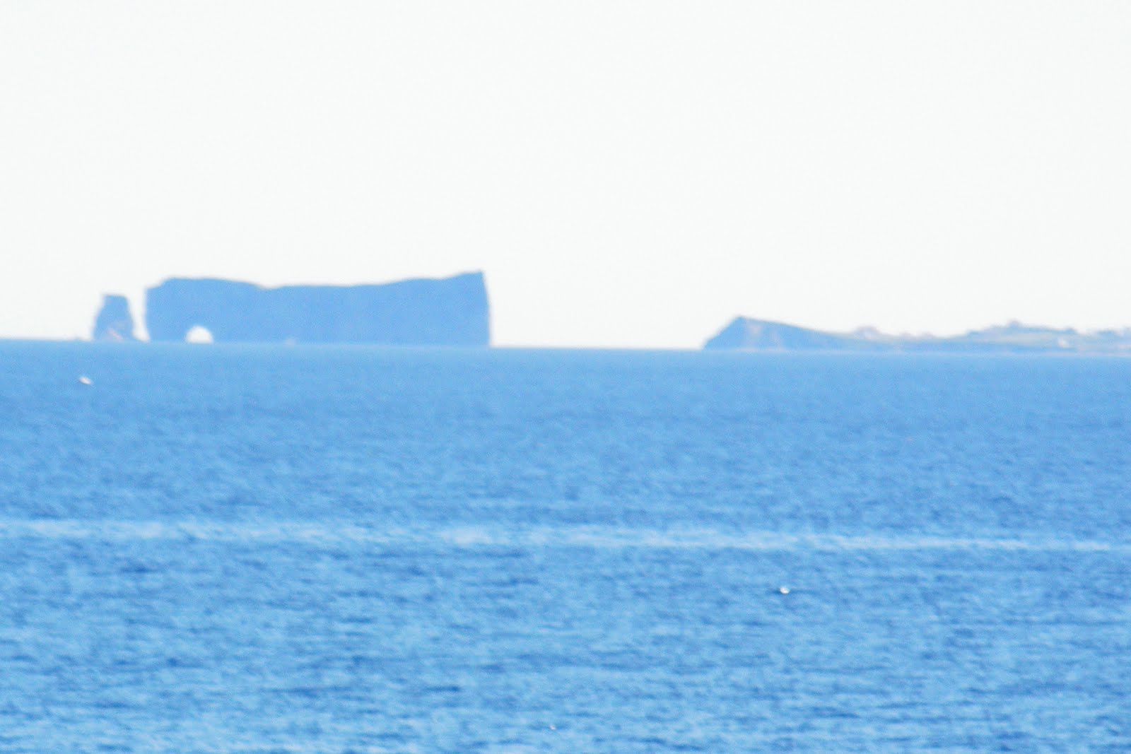
While there's no doubt that the scenery of the Gaspe coastline and Lac St. Jean region is beautiful and dramatic, what made this trip interesting was not so much just the scenery, but the culture of Quebec province.
Of course, the language was a challenge to be dealt with; for someone like me who enjoys small talk with everyone in the supermarket line, it was strange to be rendered essentially hearing impaired and mute. (Speaking of supermarkets - it's always difficult to shop in an unfamiliar one, let alone when the aisle signs are in a foreign language --- although I did understand the sign for "bon-bons"). I will say that everyone that we encountered was very helpful and patient with our lack of French, and that the language barrier should not stand in the way of visiting a very pretty part of North America that is also within easy driving distance for most of us, $5.00+ per gallon gas notwithstanding!

Heading South


Leaving the farm and fishing communities around Lac St Jean behind today, we turned south and drove through the "Reserve faunique des Laurentides" - miles and miles of forests, rivers and hills - beautiful, but not too much change in scenery. The fence you see at the bottom of this picture is a barrier to prevent wildlife (moose, specifically) from running on to the road. The fence runs along the entire 60-70 miles of road, with signs (from what we could gather in French) giving the public a phone number to call if any moose are spotted on the road.


The row boats in the above picture are provided by the provincial park for public use - there are no rental fees or registration desks; the boats just sit there for people to borrow at will

Peribonka, Quebec


Late Tuesday afternoon brought another adventure in trying to find a campground for the night (note to self: in the future, do not try camping in Quebec the first week of August); we even drove 10 miles on a bumpy dirt road to a campground that had a beautiful ad in the official regional tourist guide, only to find that the place was not completed yet and not yet scheduled to open.
We eventually landed at the municipal campground in the small town of Peribonka, on the shore of Lac St. Jean. It turned out to be one of those unexpected gems – clean, well cared for, and uncrowded. We were given a site in a new section that had only two other RV’s, occupied by two friendly bilingual French Canadian families travelling together. Their children took an instant liking to Gracie and Abby, and vice versa, so we were invited to join them around their campfire; Julie and Derek provided the guitar music and singing, and the evening was spent laughing and telling stories, the way camping should be!


Val Jalbert, Quebec

On Tuesday, we set out to drive around Lac St. Jean. The highlight of our day was a visit to Val-Jalbert, a restored lumber mill town of the early 20th century. Val-Jalbert was first established in 1902, a true “company town” built just to accommodate the mill employees and their families.


At its peak in the early 1920’s, the town’s population was just over 900. Quebec being a predominantly French-Catholic province, the town had one school run by Catholic nuns, and the Catholic church in town loomed large in its influence on the citizens.
An economic downturn closed the mill in the late 1920’s, but the mill, downtown, and employee houses have been either preserved, restored to their 1921 status, or left standing in ruins. Interestingly, the town’s homes were equipped with electricity and running water in 1902 – 25 years ahead of the majority of Quebec.

Monday, August 1, 2011

They're All Fun....But, Some Days Are Less Fun than Others

The morning started out with the remnants of some overnight rain, which was all but done by the time we had to take the dogs out at 6. We repeated our walk of the campground from last evening, including the "vue panoramique" of Tadoussac harbor (see yesterday's entry). All in all, a good beginning to the day.

Meanwhile, John's eagle ears had detected a problem with the motor home a day or two ago, and he determined yesterday that the cause was a broken sway bar bolt (I'm quoting here). Although the situation was remedied with $3.00 worth of parts from a local hardware store and our own travelling master mechanic, it delayed our progress up along the east side of the Saguenay River and its well-advertised fjord.


Once we got going, the scenery along the Saguenay was beautiful, particularly at a village called Ste.Rose-du-Nord:


It wasn't long, however, before the wind picked up and the storm clouds started to roll in. These pictures were taken just minutes before we reached our campground for the night; the downpour, of course, waited until just as we got to our destination.


Sunday, July 31, 2011

Tadoussac


Tonight we're in Tadoussac, Quebec, on the north side of the St. Lawrence, where it meets the Saguenay River.

Getting here in the last couple of days at times reminded us of the TV show "The Amazing Race", from not being able to find campgrounds (we lost sight of the fact that Monday is a provincial holiday in much of Canada - something akin to either July 4th or Labor Day weekends in the U.S.) to trying to make sense of ferry schedules across the St. Lawrence.

We spent much of today waiting for a one hour ferry that was scheduled to leave Rimouski, Quebec at 2:45; we were told to be there around 12:30, but the ferry didn't actually sail until 3:45. No matter - we sat in the parking lot in our self-contained home, reading, relaxing, and having lunch – not all that much different than sitting in our own living room at home.


In any event, we've only been here a few hours but are beginning to think that this area is one of eastern North America's best kept secrets. The view as we were ready to cross the Saguenay River on yet another ferry gave us a hint of what we may see in the next few days:

Saturday, July 30, 2011

Gaspe - the Northeast Shore


The steepest coastline on the Gaspe peninsula is on the northeast side, beginning near Forillon National Park and continuing until the span of the St. Lawrence River to upper Quebec narrows near the town of Sainte Anne des Monts. Along this coastline, route 132 (the main road around the Gaspe) was carved out of the steep hills at sea level, and is highly susceptible to storm damage - resulting in road repair projects for us summer tourists to endure.


Driving along route 132 Saturday, we saw one small coast-hugging village after another, as well as the effects of road damage from this past winter. Although many of the houses we saw along the way are no doubt summer vacation homes, we couldn't help but wonder how the year-round residents make a living. It also drove home the point we've often observed, that a vast number (majority?) of people throughout the world don't live the life we're accustomed to - with easy access to shopping, work in factories or office parks or multi-story buildings, and miles of wide open although often congested highways.

As we drove west up the St. Lawrence, the terrain gradually changed into rolling hills and a more gentle coastline.


Of course, even up here, there's room for the kitschy:

Friday, July 29, 2011

Forillon National Park


We continued on route 132 around the Gaspe peninsula today, a route that took us in and out of Parc national Forillon (Forillon National Park). A stop at one of the visitor centers convinced us that we had missed one of the most scenic stops in the park, Cap-Bon-Ami. We backtracked about 15 miles, paid the $16 entrance fee, and then couldn't find a parking space for the RV. Undaunted, we found a shrubby pull-off to back into.


A short hike later, we were rewarded for our efforts: Cap-Bon-Ami provides dramatic views of the very tip of the Gaspe peninsula.


We learned about a piece of WWII history that we don't usually hear about (click on the picture to enlarge and read):


We continued along the northern coast of the Gaspe through a number of fishing villages....


...and found a campground right on the St. Lawrence River.


Thursday, July 28, 2011

Perce, Quebec


Today, we finally had a day of blue skies and photo ops after a couple of days of not-so-perfect weather. We travelled along the southern coast of the Gaspé peninsula, an area that brings to mind images of "Anne of Green Gables".

In any event, our primary destination was Percé (that's with an accentuer on the last letter - ie, Per-SAY).
The village of Percé is near the eastern tip of Quebec's Gaspé peninsula in the Gulf of St. Lawrence. It has the expected collection of restaurants and souvenier shops, but the main attraction is the "pierced rock", as it was named by Samuel de Champlain back in the early 1600's.

Percé rock is a 450 meter long limestone formation, and apparently can be reached by foot during low tide (although we weren't there to experience that phenomenon). What struck us about it was how it appeared as we drove further away from it; from 5-10 miles away, zooming in as much as I could, it appeared to be a castle on the coast, and it adopted the color of the ocean surrounding it.


Wednesday, July 27, 2011

Hope Town, Quebec

My French-English dictionary continues to be indispensible on this trip; as co-pilot, I keep it on my lap along with our maps, AAA guide, and my camera. We may not know the correct pronunciation of the street signs we see, but at least we can understand their meaning.
There are some times, though, when it’s convenient not to understand - like when trying to get a better view of the beach next to our campground.


P.S. After a couple of inquiries - for those of you who haven't guessed or (like us) don't know French, the sign means, loosely, "Do not enter".


Tuesday, July 26, 2011

Starting up the Saint Lawrence

We had more and more glimpses of the St. Lawrence today as we headed east along Canadian route 20 from just outside Quebec City and on to route 132 and the western edge of what is commonly referred to as "Gaspesie" (the Gaspe peninsula). Although it wasn't a particularly good day for picture taking because of gray skies and intermittent drizzle, we enjoyed the terrain as it changed from flat farmland to rolling hills, and had fun getting more familiar with the French language by trying to understand road signs and billboards (with dictionary in hand). We're watching tonight's news in French - is there any chance that we'll understand what we're seeing by the end of our trip?

A couple of random observations so far:

(1) There are an inordinant amount of places up here named after saints (Ste or St something). Perhaps just as telling is the fact that every little town we see, no matter how modest, seems to have a cathedral-like church in its center.


(2) We brought a small amount of Canadian currency with us (planning instead to use our credit cards for most purchases). I've already encountered a couple of vendors that have easily accepted U.S. dollars with no adjustment for the devaluation; their explanation is that "I'll use the U.S. dollars - I go to Florida every year". I wonder if they know about the other 49 states.

Monday, July 25, 2011

Bienvenue!

This year we decided to visit our friends to the north, with our sights set on the St. Lawrence River area.
Today brought us across the U.S./Canadian border in Derby Line, Vermont. In pre-9/11 days, the international border wandered casually through the center of Derby Line, running right through the main room of the town's library.* Now security is considerably more stringent, with fences and border control vehicles positioned throughout.

Our crossing was uneventful, but we immediately found ourselves in a land where the primary language is one that neither of us knows. Worse, as John put it: "we were worried about gasoline hitting $5.00 a gallon, and we've gotten there!". That $1.36 is for a liter of gas; multiply by 3.8 and the U.S./Canadian monetary conversion and you come up with the true price per gallon - OUCH!


The next couple of weeks should be interesting. With our English-French dictionary and phrase book, we should be fluent in the language by the time we return. Maybe I should write this BLOG in French!

P.S. And if you've forgotten, here's a picture of your hostesses, taken (obviously) in cooler days a few months ago:


* See more about Derby Line: http://en.wikipedia.org/wiki/Derby_Line,_Vermont